Holmwood to Gomshall Walk
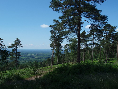
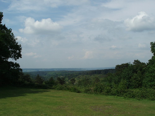
A very pretty forest walk, quite close to London, and the view from Leith Hill, the highest point in the Southeast.
Photos
Add your photos to the SWC Group on Flickr, and tag them:


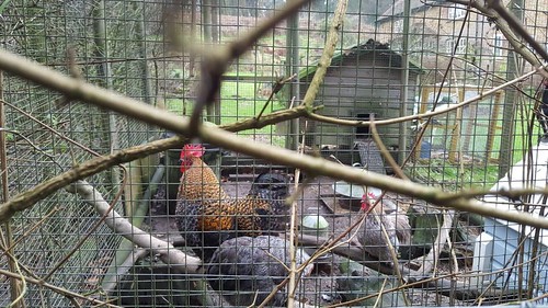
photo
Jan-18 • hikinginlondon on Flickr
swcwalks book1 walk42 surrey leithhill southeast england holmwood gomshall london 39658110992

photo
Jan-18 • hikinginlondon on Flickr
vswcwalks book1 walk42 surrey leithhill southeast england holmwood gomshall london 39654865282

photo
Jan-18 • hikinginlondon on Flickr
swcwalks book1 walk42 surrey leithhill southeast england holmwood gomshall london 39686146441

photo
Jan-18 • hikinginlondon on Flickr
swcwalks book1 walk42 surrey leithhill southeast england holmwood gomshall london 38789265235

photo
Jan-18 • hikinginlondon on Flickr
swcwalks book1 walk42 surrey leithhill southeast england holmwood gomshall london 38978744324

photo
Jan-18 • hikinginlondon on Flickr
swcwalks book1 walk42 surrey leithhill southeast england holmwood gomshall london 39687774511
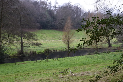
photo
Jan-18 • hikinginlondon on Flickr
swcwalks book1 walk42 surrey leithhill southeast england holmwood gomshall london sa 38790951785

photo
Jan-18 • hikinginlondon on Flickr
swcwalks book1 walk42 surrey leithhill southeast england holmwood gomshall london 24820033517

photo
Jan-18 • hikinginlondon on Flickr
swcwalks book1 walk42 surrey leithhill southeast england holmwood gomshall london 39657884382

photo
Jan-18 • hikinginlondon on Flickr
swcwalks book1 walk42 surrey leithhill southeast england holmwood gomshall london 38980162104

Leith Hill Tower
Holmwood to Gomshall walk
Sep-17 • Saturdaywalker on Flickr
swcwalks book1 walk42 36606553914


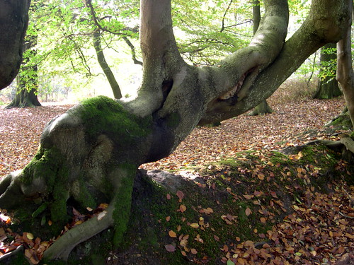
walk_42_vl_In_Leith_Hill_woods_1
Sep-17 • Vivienne Lewis on Flickr
swcwalks book1 walk42 37181961501

walk_42_vl_On_the_way_to_Leith_Hill_1
Sep-17 • Vivienne Lewis on Flickr
swcwalks book1 walk42 36927395820

walk_42_vl_Reflections_Friday_Street
Sep-17 • Vivienne Lewis on Flickr
swcwalks book1 walk42 36511568403
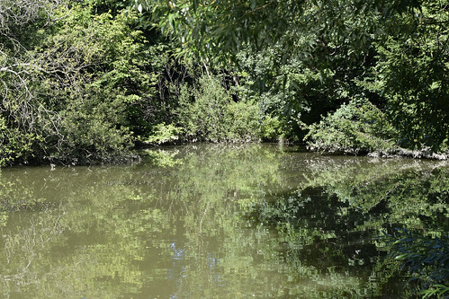
photo
Aug-16 • hikinginlondon on Flickr
holmwood gomshall swcwalks book1 walk42 leithhill southeast london pretty forest dorking ethelwulf walk surrey heathlands woodlands 28242253253

photo
Aug-16 • hikinginlondon on Flickr
holmwood gomshall swcwalks book1 walk42 leithhill southeast london pretty forest dorking ethelwulf walk surrey heathlands woodlands 28242410793

photo
Aug-16 • hikinginlondon on Flickr
holmwood gomshall swcwalks book1 walk42 leithhill southeast london pretty forest dorking ethelwulf walk surrey heathlands woodlands 28242588823

photo
Aug-16 • hikinginlondon on Flickr
holmwood gomshall swcwalks book1 walk42 leithhill southeast london pretty forest dorking ethelwulf walk surrey heathlands woodlands 28752815752

photo
Aug-16 • hikinginlondon on Flickr
holmwood gomshall swcwalks book1 walk42 leithhill southeast london pretty forest dorking ethelwulf walk surrey heathlands woodlands 28753030542
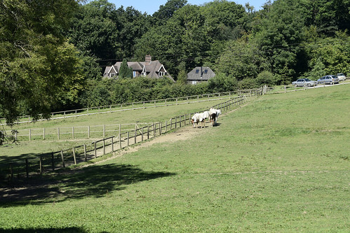
photo
Aug-16 • hikinginlondon on Flickr
holmwood gomshall swcwalks book1 walk42 leithhill southeast london pretty forest dorking ethelwulf walk surrey heathlands woodlands 28826933066

photo
Aug-16 • hikinginlondon on Flickr
holmwood gomshall swcwalks book1 walk42 leithhill southeast london pretty forest dorking ethelwulf walk surrey heathlands woodlands 28827357036

photo
Aug-16 • hikinginlondon on Flickr
holmwood gomshall swcwalks book1 walk42 leithhill southeast london pretty forest dorking ethelwulf walk surrey heathlands woodlands 28753945552

photo
Aug-16 • hikinginlondon on Flickr
holmwood gomshall swcwalks book1 walk42 leithhill southeast london pretty forest dorking ethelwulf walk surrey heathlands woodlands 28858787925

photo
Aug-16 • hikinginlondon on Flickr
holmwood gomshall swcwalks book1 walk42 leithhill southeast london pretty forest dorking ethelwulf walk surrey heathlands woodlands 28574711910

photo
Aug-16 • hikinginlondon on Flickr
holmwood gomshall swcwalks book1 walk42 leithhill southeast london pretty forest dorking ethelwulf walk surrey heathlands woodlands 28244347423

photo
Aug-16 • hikinginlondon on Flickr
holmwood gomshall swcwalks book1 walk42 leithhill southeast london pretty forest dorking ethelwulf walk surrey heathlands woodlands 28859409875

photo
Aug-16 • hikinginlondon on Flickr
holmwood gomshall swcwalks book1 walk42 leithhill southeast london pretty forest dorking ethelwulf walk surrey heathlands woodlands 28242343814

photo
Aug-16 • hikinginlondon on Flickr
holmwood gomshall swcwalks book1 walk42 leithhill southeast london pretty forest dorking ethelwulf walk surrey heathlands woodlands 28859559195

photo
Aug-16 • hikinginlondon on Flickr
holmwood gomshall swcwalks book1 walk42 leithhill southeast london pretty forest dorking ethelwulf walk surrey heathlands woodlands 28244883653

photo
Aug-16 • hikinginlondon on Flickr
holmwood gomshall swcwalks book1 walk42 leithhill southeast london pretty forest dorking ethelwulf walk surrey heathlands woodlands 28859770715

photo
Aug-16 • hikinginlondon on Flickr
holmwood gomshall swcwalks book1 walk42 leithhill southeast london pretty forest dorking ethelwulf walk surrey heathlands woodlands 28828935826

photo
Aug-16 • hikinginlondon on Flickr
holmwood gomshall swcwalks book1 walk42 leithhill southeast london pretty forest dorking ethelwulf walk surrey heathlands woodlands 28243062734

photo
Aug-16 • hikinginlondon on Flickr
holmwood gomshall swcwalks book1 walk42 leithhill southeast london pretty forest dorking ethelwulf walk surrey heathlands woodlands 28576126220
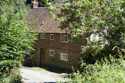
photo
Aug-16 • hikinginlondon on Flickr
holmwood gomshall swcwalks book1 walk42 leithhill southeast london pretty forest dorking ethelwulf walk surrey heathlands woodlands 28755958362

photo
Aug-16 • hikinginlondon on Flickr
holmwood gomshall swcwalks book1 walk42 leithhill southeast london pretty forest dorking ethelwulf walk surrey heathlands woodlands 28756171262

photo
Aug-16 • hikinginlondon on Flickr
holmwood gomshall swcwalks book1 walk42 leithhill southeast london pretty forest dorking ethelwulf walk surrey heathlands woodlands 28860724705

photo
Aug-16 • hikinginlondon on Flickr
holmwood gomshall swcwalks book1 walk42 leithhill southeast london pretty forest dorking ethelwulf walk surrey heathlands woodlands 28246282143

photo
Aug-16 • hikinginlondon on Flickr
holmwood gomshall swcwalks book1 walk42 leithhill southeast london pretty forest dorking ethelwulf walk surrey heathlands woodlands 28244103784

photo
Aug-16 • hikinginlondon on Flickr
holmwood gomshall swcwalks book1 walk42 leithhill southeast london pretty forest dorking ethelwulf walk surrey heathlands woodlands 28244353214

photo
Aug-16 • hikinginlondon on Flickr
holmwood gomshall swcwalks book1 walk42 leithhill southeast london pretty forest dorking ethelwulf walk surrey heathlands woodlands 28756947182
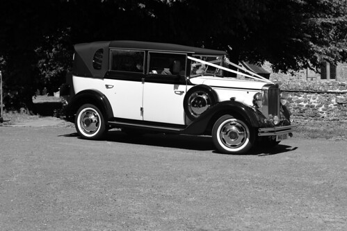
photo
Aug-16 • hikinginlondon on Flickr
holmwood gomshall swcwalks book1 walk42 leithhill southeast london pretty forest dorking ethelwulf walk surrey heathlands woodlands 28830422976

photo
Aug-16 • hikinginlondon on Flickr
holmwood gomshall swcwalks book1 walk42 leithhill southeast london pretty forest dorking ethelwulf walk surrey heathlands woodlands 28244634474

photo
Aug-16 • hikinginlondon on Flickr
holmwood gomshall swcwalks book1 walk42 leithhill southeast london pretty forest dorking ethelwulf walk surrey heathlands woodlands 28577506610

photo
Aug-16 • hikinginlondon on Flickr
holmwood gomshall swcwalks book1 walk42 leithhill southeast london pretty forest dorking ethelwulf walk surrey heathlands woodlands 28786362061
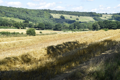
photo
Aug-16 • hikinginlondon on Flickr
holmwood gomshall swcwalks book1 walk42 leithhill southeast london pretty forest dorking ethelwulf walk surrey heathlands woodlands 28786444051

photo
Aug-16 • hikinginlondon on Flickr
holmwood gomshall swcwalks book1 walk42 leithhill southeast london pretty forest dorking ethelwulf walk surrey heathlands woodlands 28757705722
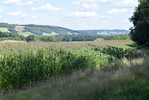
photo
Aug-16 • hikinginlondon on Flickr
holmwood gomshall swcwalks book1 walk42 leithhill southeast london pretty forest dorking ethelwulf walk surrey heathlands woodlands 28862418195

photo
Aug-16 • hikinginlondon on Flickr
holmwood gomshall swcwalks book1 walk42 leithhill southeast london pretty forest dorking ethelwulf walk surrey heathlands woodlands 28757982042

photo
Aug-16 • hikinginlondon on Flickr
holmwood gomshall swcwalks book1 walk42 leithhill southeast london pretty forest dorking ethelwulf walk surrey heathlands woodlands 28248195183

photo
Aug-16 • hikinginlondon on Flickr
holmwood gomshall swcwalks book1 walk42 leithhill southeast london pretty forest dorking ethelwulf walk surrey heathlands woodlands 28862930075

photo
Aug-16 • hikinginlondon on Flickr
holmwood gomshall swcwalks book1 walk42 leithhill southeast london pretty forest dorking ethelwulf walk surrey heathlands woodlands 28758626362

photo
Aug-16 • hikinginlondon on Flickr
holmwood gomshall swcwalks book1 walk42 leithhill southeast london pretty forest dorking ethelwulf walk surrey heathlands woodlands 28248629953

photo
Aug-16 • hikinginlondon on Flickr
holmwood gomshall swcwalks book1 walk42 leithhill southeast london pretty forest dorking ethelwulf walk surrey heathlands woodlands 28787825861

photo
Aug-16 • hikinginlondon on Flickr
holmwood gomshall swcwalks book1 walk42 leithhill southeast london pretty forest dorking ethelwulf walk surrey heathlands woodlands 28863586385
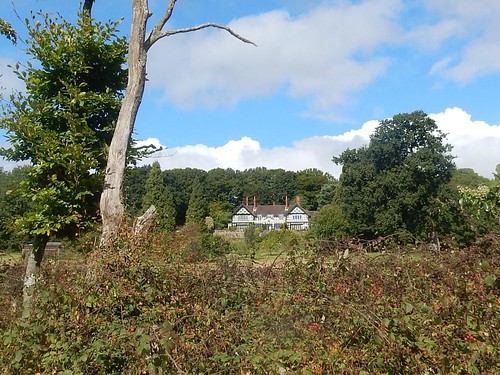

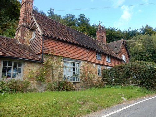

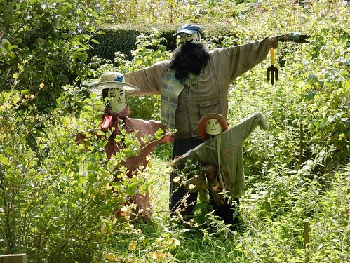

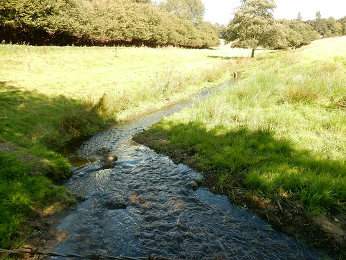

John Evelyn tomb
Church of St John the Evangelist, Wotton. Hard to get it all in one pic! Here lies the Body of JOHN EVELYN Esq of this place, second son of RICHARD EVELYN Esq who having served the Publick in several employments of which that Commissioner of the Privy Seal in the reign of King James the 2nd was most Honourable: and perpetuated his fame by far more lasting Monuments than those of Stone, or Brass: his Learned and useful works, fell asleep the 27th day of February 1705/6 being the 86th Year of his age in full hope of a glorious resurrection thro faith in Jesus Christ. Living in an age of extraordinary events, and revolutions he learnt (as himself asserted) this truth which pursuant to his intention is here declared. That all is vanity which is not honest and that there's no solid Wisdom but in real piety. Of five Sons and three Daughters borne to him from his most vertuous and excellent Wife MARY sole daughter, and heiress of Sir RICHARD BROWNE of Sayes Court near Deptford in Kent onely one Daughter SUSANNA married to WILLIAM DRAPER Esq of Adscomb in this County survived him – the two others dying in the flower of their age, and all the sons very young except one nam'd John who deceased 24 March 1698/9 in the 45th year of his age, leaving one son JOHN and one daughter ELIZABETH. Holmwood to Gomshall
book1 surreyhills swcwalks walk42 21192374638
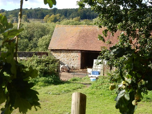
Ancient shelter
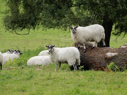
According to the notice, these are sheep! Holmwood to Gomshall
book1 surreyhills swcwalks walk42 21388559401

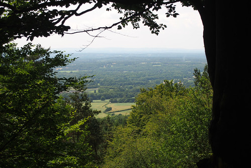
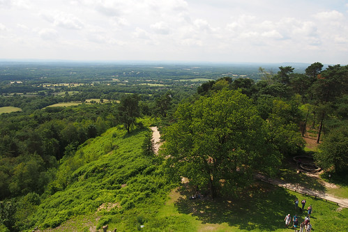
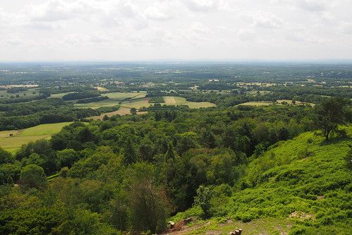


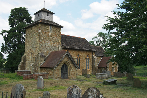
Wotton church
The pretty church in Wotton which is isolated from the rest of the village by the A25.
book1 swcwalks walk42 20140622 14306113777
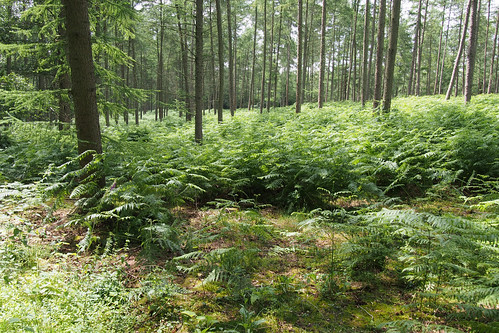
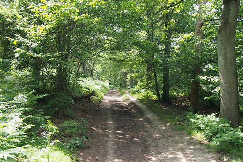


.... though the streams are swollen...
Dec-13 • magyardave2002 on Flickr
book1 swcwalks walk42 11501521653


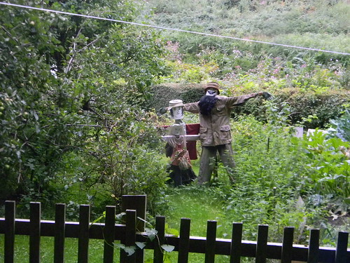
'Who lives in a home like this?'
the clues are all there...
Sep-13 • magyardave2002 on Flickr
book1 duckhouse pondlife swcwalks walk42 9862829993




Peacock caterpillar cluster
On nettle. Note the communal web. Holmwood to Gomshall
book1 swcwalks walk42 9869870263


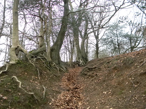


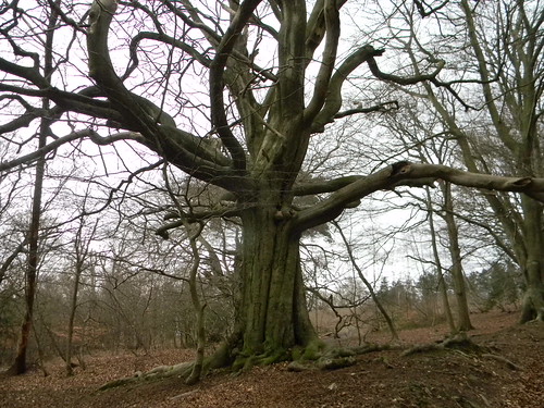
Congratulatory tree
(for having done the steep climb) Holmwood to Gomshall
book1 swcwalks walk42 6908452197

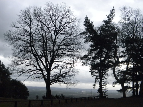

Row of trees
Wotton Estate, A lot of vibrant greens today. Holmwood to Gomshall
book1 swcwalks walk42 6908458457
1009250001
Fly Agarics, Leith Hill
Sep-10 • Sean O'Neill
book1, swcwalks, walk42 5681972317186356338 P
1009250004
View north from Leith Hill
Sep-10 • Sean O'Neill
book1, swcwalks, walk42 5681972414740600706 P
1009250006
Mill Pond, Friday Street
Sep-10 • Sean O'Neill
book1, swcwalks, walk42 5681972498573163634 P
1009250009
Church of St John the Evangelist, Wotton
Sep-10 • Sean O'Neill
book1, swcwalks, walk42 5681972535999991794 P
1009250010
St John the Evangelist churchyard
Sep-10 • Sean O'Neill
book1, swcwalks, walk42 5681972568715463570 P
1009250012
Monument to Samuel ("Soapy Sam") Wilberforce
Sep-10 • Sean O'Neill
book1, swcwalks, walk42 5681972615195875346 P
1009250013
Sulphur Tuft, Abinger Roughs
Sep-10 • Sean O'Neill
book1, swcwalks, walk42 5681972655261402050 P
1009250014
Parasol Mushrooms, Abinger Roughs
Sep-10 • Sean O'Neill
book1, swcwalks, walk42 5681972715645707682 P
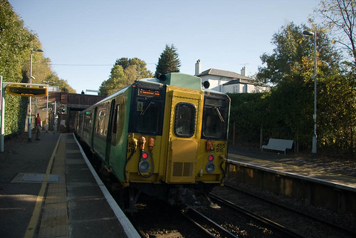
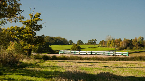


crossing the railway line near Holmwood
book1 swcwalks walk42 2953551162


the Surrey Hills begin to loom as the route heads to Leath Hill
book1 swcwalks walk42 2953552074


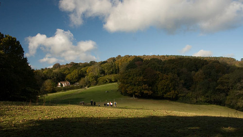


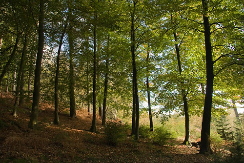
Along the path to Leith Hill from Landslip
book1 swcwalks walk42 2952704453

Along the path to Leith Hill from Landslip
book1 swcwalks walk42 2953555988


Leith Hill Tower
From National Trust website: Leith Hill Tower, a fortified folly, is the highest point in the south east of England - the top of the tower being 317 metres (1,029 ft) above sea level. The 19.5 metre (64 ft) tower, built in 1765 by Richard Hull of Leith Hill Place, dominates the hilltop and commands magnificent views across the North and South Downs: to the north it is possible to see St Paul's Cathedral and to the south there is a panorama over the Weald to the English Channel. Amazingly, on a clear day, 13 counties are visible. When Richard Hull died in 1772, he was buried beneath the tower floor. Sadly the tower was soon looted and left to go to ruin. However, in 1984 the Trust refurbished the tower to provide a tea-room, information room and viewing room.
book1 swcwalks walk42 2952705595
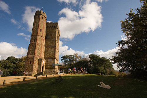
Leith Hill Tower
From National Trust website: Leith Hill Tower, a fortified folly, is the highest point in the south east of England - the top of the tower being 317 metres (1,029 ft) above sea level. The 19.5 metre (64 ft) tower, built in 1765 by Richard Hull of Leith Hill Place, dominates the hilltop and commands magnificent views across the North and South Downs: to the north it is possible to see St Paul's Cathedral and to the south there is a panorama over the Weald to the English Channel. Amazingly, on a clear day, 13 counties are visible. When Richard Hull died in 1772, he was buried beneath the tower floor. Sadly the tower was soon looted and left to go to ruin. However, in 1984 the Trust refurbished the tower to provide a tea-room, information room and viewing room.
book1 swcwalks walk42 2952705935


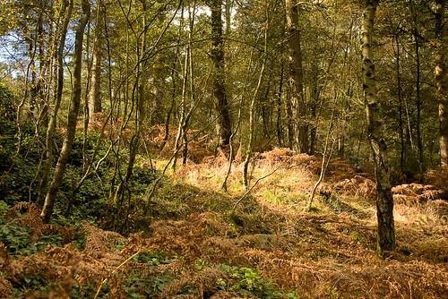
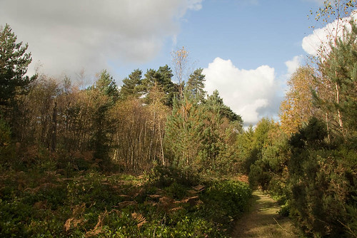


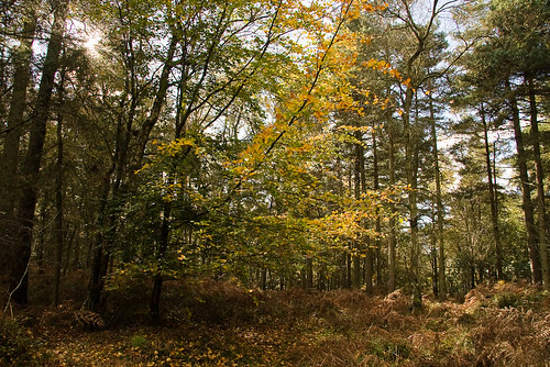
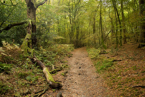

Deep in the Surrey Hills, near Friday Street
book1 swcwalks walk42 2952710981
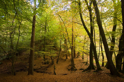
Deep in the Surrey Hills, near Friday Street
book1 swcwalks walk42 2953562344
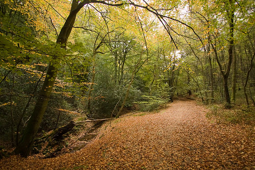
Deep in the Surrey Hills, near Friday Street
book1 swcwalks walk42 2952711935
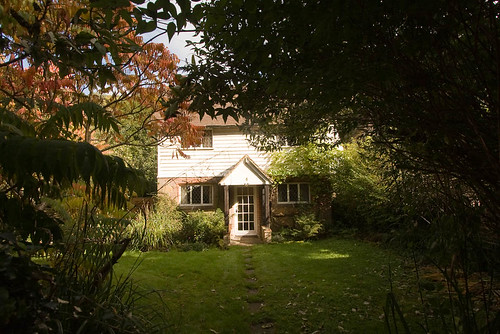
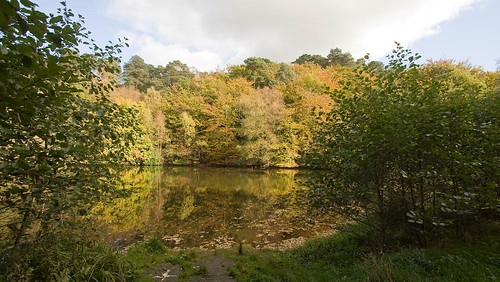

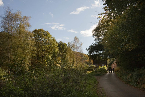

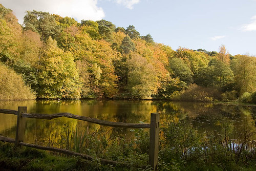
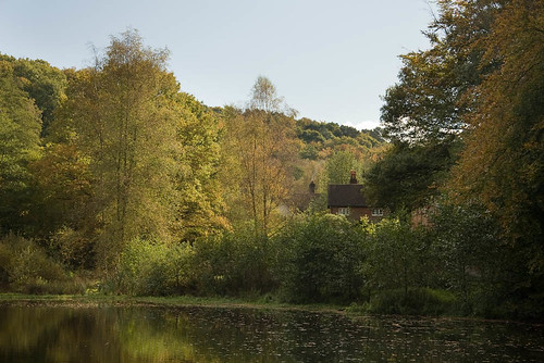


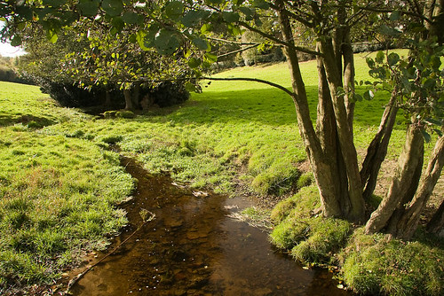
The Tilling Bourne Near Wotton
Wikipedia: The River Tillingbourne runs along the south side of the North Downs joining the River Wey at Guildford. Its source is near Tilling Springs to the north of Leith Hill and it runs through Friday Street, Abinger Hammer, Gomshall, Shere, Albury, Chilworth and Shalford. The source is a semi-natural uninhabited area. The catchment is situated on sandstone which has a low rate of weathering. The river used to power a number of gunpowder, paper and corn mills in the area. The gunpowder mill was at Chilworth. Present day users include a trout farm, watercress beds and a business growing reeds.
book1 swcwalks walk42 2953566152
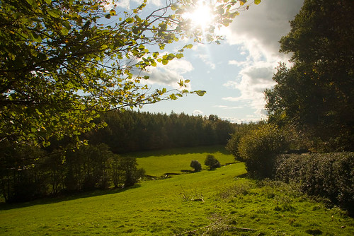
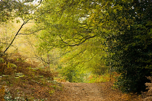
Abinger Roughs
Abinger Roughs, above the hamlet of Abinger, is an area of woodland with scrub, grassland, beech, conifers and a nature trail. Its name refers to the area's former use as rough pasture land
book1 swcwalks walk42 2953566880
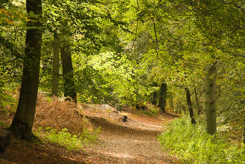
Abinger Roughs
Abinger Roughs, above the hamlet of Abinger, is an area of woodland with scrub, grassland, beech, conifers and a nature trail. Its name refers to the area's former use as rough pasture land
book1 swcwalks walk42 2952716415

Abinger Roughs
Abinger Roughs, above the hamlet of Abinger, is an area of woodland with scrub, grassland, beech, conifers and a nature trail. Its name refers to the area's former use as rough pasture land
book1 swcwalks walk42 2953567744

Abinger Roughs
Abinger Roughs, above the hamlet of Abinger, is an area of woodland with scrub, grassland, beech, conifers and a nature trail. Its name refers to the area's former use as rough pasture land
book1 swcwalks walk42 2952717221
